Industry News | Low altitude Economy Flying into the Forest Sea: When Drones+AI Meet Smart Forestry, Guarding a Green Future Has New Answers
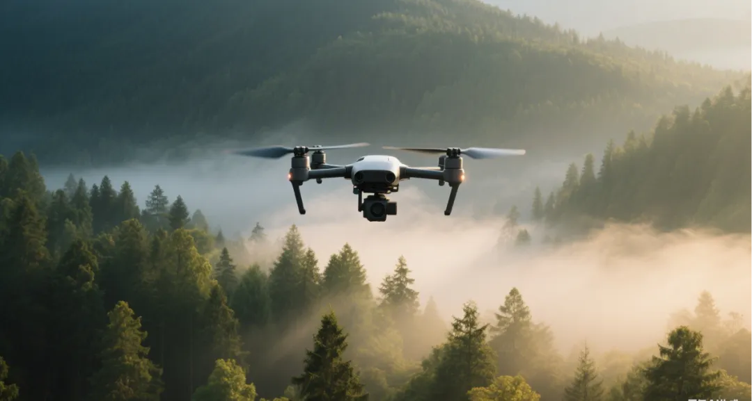
The combination of drone technology and artificial intelligence platforms injects new vitality into forestry protection, making "aerial protection" the new normal of a green future.

From the vast forest sea of Changbai Mountain to the tropical rainforest of Xishuangbanna, from the life and death speed of grassland fire prevention to the hidden traces of golden monkeys, forestry protection and management have always faced the challenges of "wide range, complex terrain, and heavy tasks". Nowadays, with the rise of the low altitude economy, drones are becoming "airborne guardians", equipping smart forestry with "thousand mile eyes" and "windward ears", making green protection more efficient, accurate, and intelligent.
The 'pain points' of traditional forestry
Drones to break through the situation
When it comes to forestry work, you may think of the figures of forest rangers crossing mountains and valleys, the day and night duty on lookout towers, or scientific researchers carrying instruments for hiking surveys. However, under traditional models, these tasks are often constrained by three major challenges:
01 Fire prevention is like walking a steel wire
Forest fires are highly sudden and destructive, and the coverage of manual inspections is limited. By the time the fire is discovered, the best time to extinguish it may have been missed;
02 Patrol is like "running through a maze"
The winding mountain roads and dense forests in the forest area make it difficult to detect illegal land occupation and indiscriminate logging in a timely manner. Disease and pest monitoring relies solely on "foot power+eye power", which is inefficient;
03 Investigation Like 'Foolish Old Man Moves Mountains'
Surveying and counting of hundreds of square kilometers of forest land, relying on manual labor for months or even years, may also leave "blind spots" due to complex terrain;
The arrival of drones has provided a completely new solution to these difficult problems. As the core carrier of low altitude economy, it is reshaping the entire process of forestry protection and management with its advantages of flexibility, efficiency, and low cost.
AI platform empowerment:
Four core scenarios of unmanned aerial vehicle "intelligent" forest protection

forest fire prevention
From 'passive response' to 'active warning'
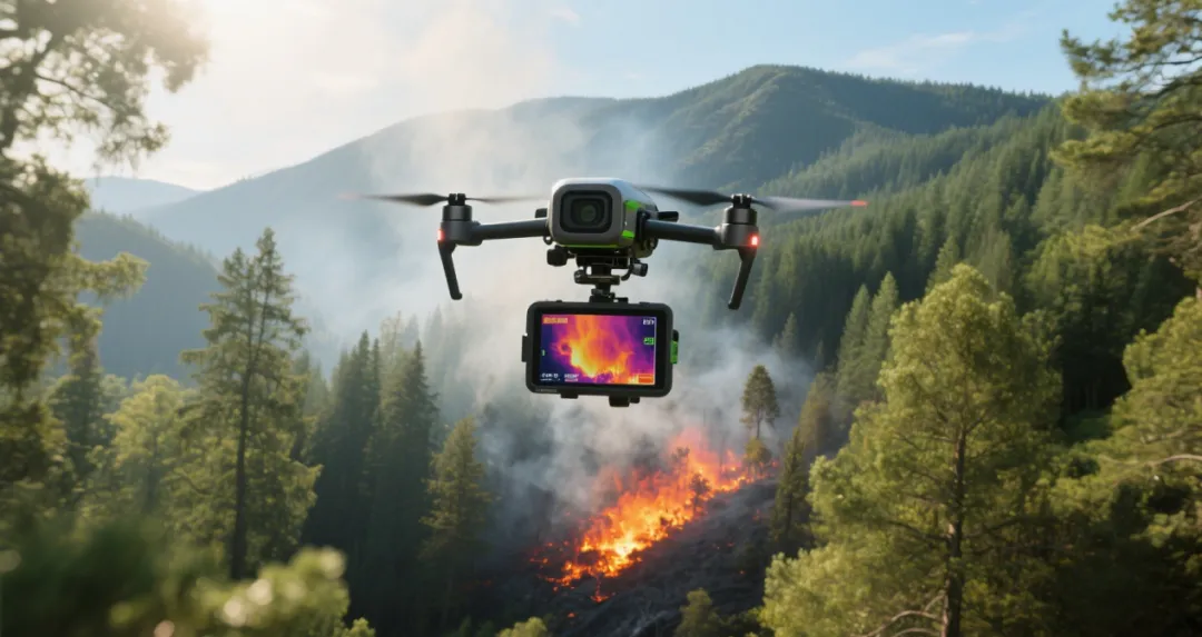
Forest fires are the "number one killer" of forestry, and the addition of drones has achieved a "qualitative leap" in fire prevention work:
real-time recognition
The AI model trained on millions of fire samples can analyze thermal imaging images within 0.5 seconds, accurately label "suspected fires" (distinguish between animal body temperature, industrial heat sources, and other interference items), and reduce the false alarm rate to below 3%;
Intelligent Tracking
Once the fire situation is confirmed, AI combines data such as wind speed, slope, vegetation type, etc. to automatically generate a heat map of fire spread, predicting the spread range of 30 minutes and 1 hour, and striving for critical time for firefighting;
Fully grasp the situation
Real time transmission of fire point location and fire range from a high-altitude perspective, coupled with AI analysis to quickly generate a 3D model of the fire scene, enables the command center to accurately deploy firefighting forces;
The practice in Mount Huangshan Scenic Spot has proved that after the deployment of UAVs, the fire response time has been shortened from 1 hour to 15 minutes, and the small fire handling rate has been increased to 98%.

Forest patrol
The 'air patrol team' closely monitors every inch of greenery
Deforestation, illegal occupation of land, pests and diseases These 'forest scars' once gave forest rangers a headache. Nowadays, drones have become "mobile outposts":
image comparison
Drones regularly capture panoramic views of forest areas, and AI algorithms automatically compare them with benchmark models. Within 10 minutes, new logging traces and illegal constructions (even temporary sheds hidden in dense forests) can be identified;
Automated disposal
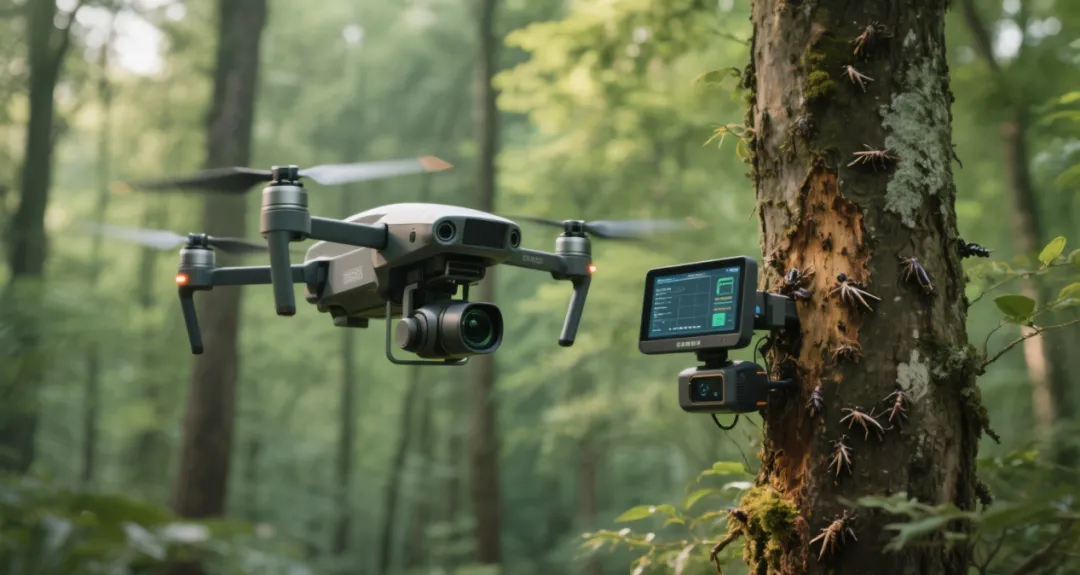
After AI detects suspected epidemic trees, it automatically pushes coordinates and processing suggestions to nearby forest rangers' terminals, reducing the time from discovery to disposal from 3 days to 4 hours;
Disease and pest tracing
Through high-definition lens captured leaf images, AI can identify more than 20 types of pests and diseases such as pine wilt disease and American white moth. It not only marks the location, but also predicts the infected area based on the spread speed, with an accuracy rate exceeding 90% of manual identification.
Resource survey
Draw a 'digital portrait' of the forest
In the past, surveying a 100 square kilometer forest required more than ten people to spend six months; Now, the combination of drones and 3D modeling technology makes everything simple:
Intelligent Counting
Through 3D modeling and AI recognition, automatically count the number of trees and shrubs, distinguish between coniferous and broad-leaved forests, with an error of no more than 2%; It can even estimate the diameter at breast height and height of individual trees, and generate reports on timber accumulation;
dynamic monitoring
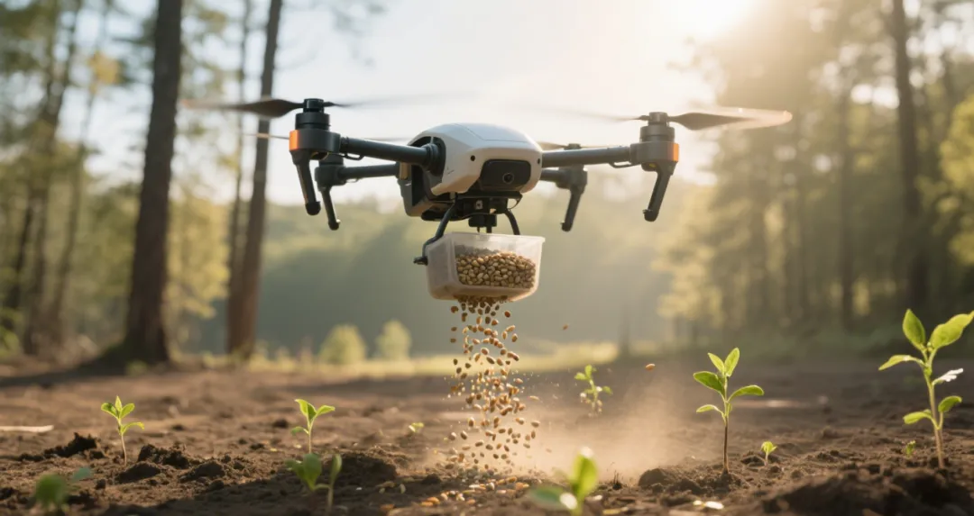
By comparing aerial data from different periods, AI can analyze changes in forest growth rate and vegetation coverage, providing data support for ecological restoration (such as determining the restoration effect of returning farmland to forests);
Case witness
The Xishuangbanna National Nature Reserve completed a 122 square kilometer forest rights survey using drones in just 3 months, which is 10 times more efficient than traditional methods.

wildlife conservation
Not disturbing, but able to 'see' more clearly
Deep in the Qinling Mountains, a research team from Northwestern University uses drones to track Sichuan snub nosed monkeys:
Species identification
In the monitoring of Qinling Mountains, AI can distinguish more than 10 species of animals such as Sichuan snub nosed monkeys, black bears, and antelopes through thermal imaging and visible light images. It can even determine individual age based on body shape, and the accuracy of population statistics reaches 95%;
behavior analysis
After long-term monitoring data is processed by AI, it can identify the migration patterns and foraging ranges of animals. For example, it is found that golden monkeys tend to move more on the southern slope at an altitude of 1500-2000 meters in winter, providing reference for setting up ecological corridors;
Non-interference observation
AI controlled drones cruise at an altitude of over 50 meters, avoiding disturbing animals and amplifying details through algorithms, solving the contradiction between "clear visibility" and "no disturbance".
Dual drive of policy and technology
Let the forest speak for itself in the future
According to data from the National Forestry and Grassland Administration, there are currently 474 national nature reserves, 601 national wetland parks, over 2700 district and county forestry bureaus, and 19000 township forestry stations in China. Such a huge system is accelerating the adoption of low altitude economy.
The 14th Five Year Plan for the Protection and Development of Forestry and Grassland clearly proposes to "build an ecological network perception system" and "strengthen the construction of forest and grassland fire prevention capabilities", with drones being the core equipment. From high-risk areas for fire prevention in the western grasslands to high-risk areas for pests and diseases in the southern hills, policy dividends are driving unmanned aerial vehicles from "pilot applications" to "large-scale popularization".
With algorithm iteration, intelligent forestry is changing from "passive response" to "active early warning": for example, AI predicts the fire risk level of a forest area through historical data, and dispatches drones in advance for intensive patrolling; Or automatically plan key monitoring routes based on the high incidence period of pests and diseases. According to data from the National Forestry and Grassland Administration, currently 30% of national nature reserves have introduced AI assisted management, and it is expected that this proportion will exceed 60% by 2025.
When AI "understands" every breath of the forest, when algorithms predict every change in nature, the interaction between humans and forests is moving from "guarding" to "symbiosis". This may be the temperature of technology - allowing us to understand nature better without disturbing it.

On the sea of forests, technology and greenery grow together
When the drone flies over the forest, it leaves not only a trajectory, but also a mark of technology guarding the green. From "measuring with feet" to "overlooking from the air", from "experience judgment" to "data speaking", the low altitude economy is redefining the boundaries of forestry protection.
In the future, with the deep integration of low altitude economy and forestry, there may be more "airborne guardians" soaring above the forest sea. If you also want to learn how drones can "empower" the mountains and forests of your hometown, please leave a comment in the comment section to explore more possibilities of smart forestry together~Protecting the green, we "fly" like the world!
Source: Juting Technology